Mt. St. Helens Expedition - August 1999

Steve, Rob, Fred, Jim, Rich, Chris and I tackle a live volcano.
[ Back to the regular presentation of this content: Mt. St. Helens Expedition - August 1999 ]

Table of Contents

     Camping
     The Ascent
     The Descent


Camping

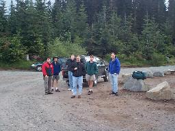
Late in August a bunch of us (including Steve and Robert from the Mt. Jupiter expedition a week or so earlier, Steve's friend Fred from LA, and Rob's brothers Rich, Jim, and Chris) decided to hike up to the top of Mt. St. Helens.

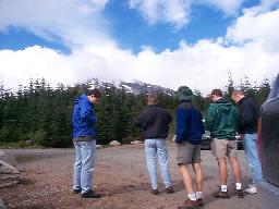
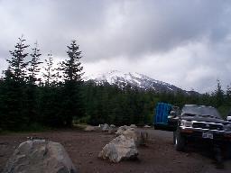
Newly arrived at the campsite, staring at... Newly arrived at the campsite, staring at...

...the mountain, just now shaking off the clouds. ...the mountain, just now shaking off the clouds.

It started drizzling in the evening, so we had to cook out in the wet rain.

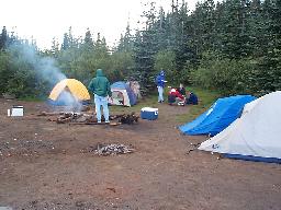
The raging bonfire. The raging bonfire.

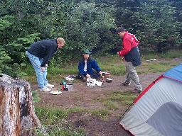
Cooking frozen steaks was a painstakingly slow operation.  Favorite quote: Cooking frozen steaks was a painstakingly slow operation. Favorite quote: "maybe next time we should thaw them out a bit."


The Ascent

Early the next morning we awoke, had a quick cold breakfast, then set off on the trail up Monitor Ridge. It was drizzly, like the night before.

Mooting in the rain. Mooting in the rain.

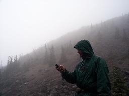
GPS measurements. GPS measurements.

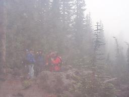
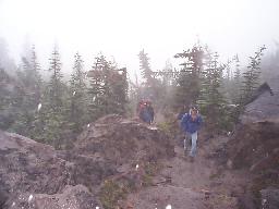
Winding up through the fog and rain. Winding up through the fog and rain.

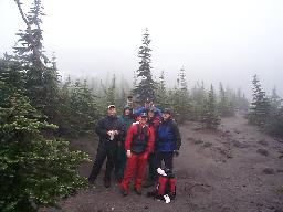
Finally we hit the treeline. Anyone remember what elevation this is? 5000?

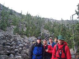
Group photo op at the 5000 ft elevation marker. Group photo op at the 5000 ft elevation marker.

On the rocks above the treeline. On the rocks above the treeline.

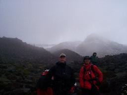
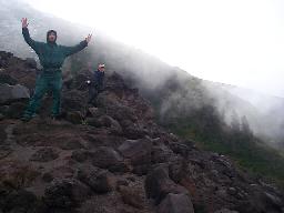
Celebrating a small break in the clouds. Celebrating a small break in the clouds.

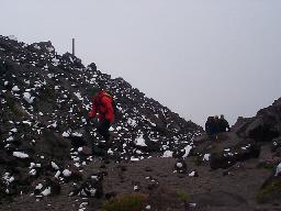
The first sign of snow (6000 feet?). The first sign of snow (6000 feet?).

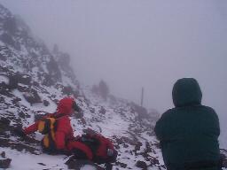
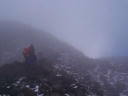
Climbing into the clouds, the snow got deeper. Climbing into the clouds, the snow got deeper.

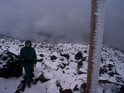
Icy posts marked the trail up the ridge. Icy posts marked the trail up the ridge.

We hit a deserted weather station around 8000 feet. We hit a deserted weather station around 8000 feet.

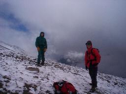
Another small break in the clouds. Another small break in the clouds.

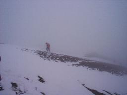
Rob approaching the summit.  The headwind was brutal. Rob approaching the summit. The headwind was brutal.

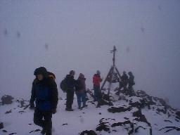
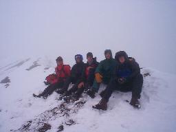
The group at the summit.  No view to speak of, but the crater walls were impressive. The group at the summit. No view to speak of, but the crater walls were impressive.


The Descent

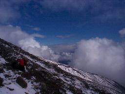
Of course, as luck would have it the clouds really started breaking up after we were 1000 feet or more back down from the summit. The view from the top was probably spectacular. In any case, my camera had frozen up and it didn't start working until the sun was able to warm it up again.

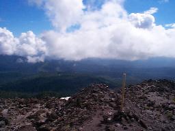
Blue sky. Blue sky.

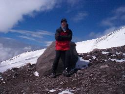
I begged a passing hiker to take my picture. I begged a passing hiker to take my picture.

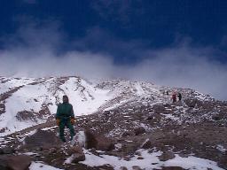
The group descending. The group descending.

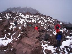
Picking our way through the rockfield on the way down. Picking our way through the rockfield on the way down.

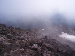
Diving back into the cloud layer. Diving back into the cloud layer.

Coming out of the cloud layer. Coming out of the cloud layer.

Good view beneath the clouds (6000 feet?). Good view beneath the clouds (6000 feet?).

Almost back to the trailhead. Almost back to the trailhead.

A last look at the mountain. A last look at the mountain.